The Minnesota Pollution Control Agency (MPCA) has published a new tool: the Minnesota Groundwater Contamination Atlas.
“A tool for learning about polluted groundwater at sites around the state”, the atlas allows users to scan the map or utilize a text-based search to find sites by address, zip code, county, municipality, or site name. As of June 2020, when the atlas went live, the tool only shows active state Superfund sites. Data from other sites will be added in future phases.
In addition to viewing mapped groundwater areas of concern, users can read the contamination story of a particular site and download data. The contamination story for each Superfund site contains a summary of the contamination and remediation or clean-up efforts. Specifically, each story addresses:
- What is the source of the contamination?
- What is the contaminant?
- Where is the contaminated groundwater?
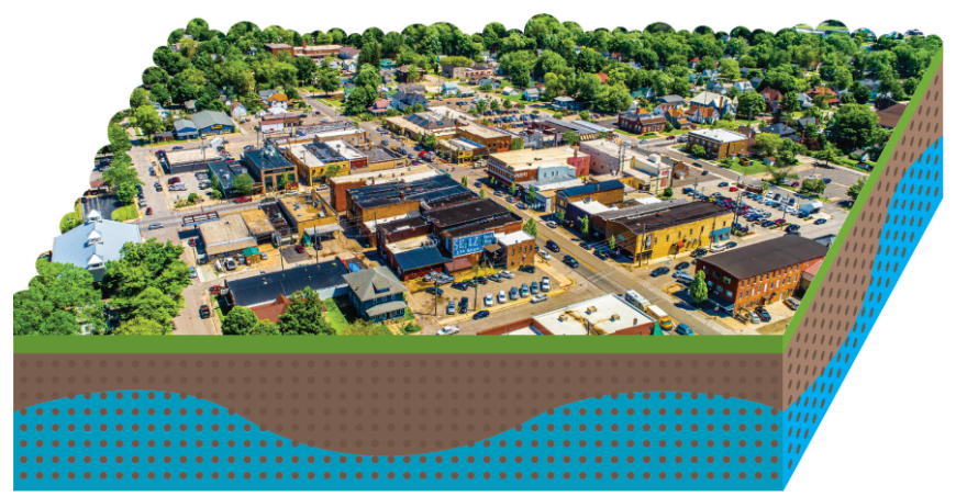
- Are there drinking water impacts? Included in this section is a short narrative and a graphic that explains where drinking water comes from in the area.
- Is soil or sediment contaminated?
- Are their vapor concerns?
- What cleanup work has been done?
- What contamination remains at the site? A graphic is included for some areas, showing how deep the contamination extends underground.
- Future actions.
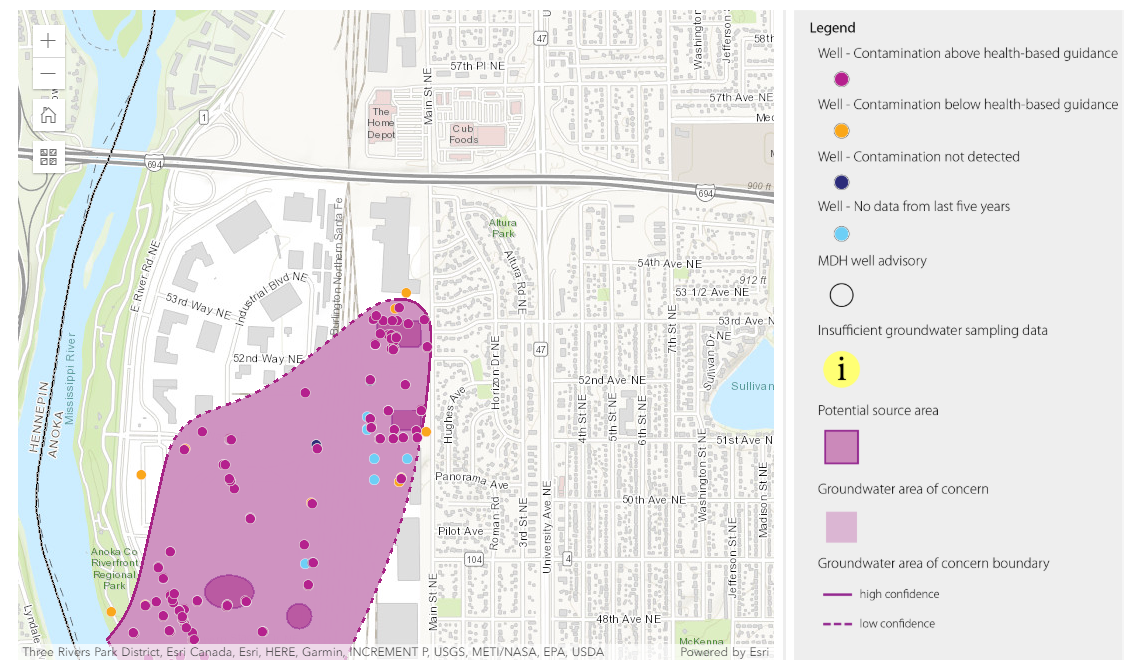
Screenshot from the Minnesota Groundwater Contamination Atlas.
MPCA received funding in 2017 from the Minnesota Environmental and Natural Resources Trust Fund for the purpose of making groundwater data from Superfund sites more accessible to the public and more useful for technical users. This atlas is the result of their 3-year project, supported by technical assistance from the Minnesota Department of Health and Minnesota Department of Agriculture.
As stated above, this first phase of the atlas displays only areas of concern from Superfund sites. As additional funding becomes available, MPCA has plans to expand the atlas by integrating additional data from other remediation programs.
Click here to use the atlas and for more information on how the maps of areas of concerns are made.


 July 9th, 2020
  knowtheflow
 Posted in